
Page 3: The North East. Page 1: The South East Page 2: The East Page 4: The West Page 5: The North West Page 6: The South West.
Move your mouse over the picture to see the names of the various craters.
Click on the image to see the image full size.
|
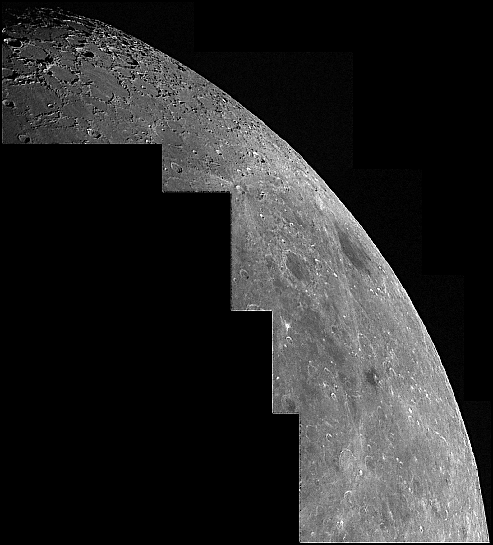
This is the north-eastern libration zone taken when the libration was particularly favourable. The large arrow points to the position of maximum libration. It is a mosaic of 5 images made when the Moon was 9.6 days old. The picture here has been reduced to 30% of the size of the original.
|
The picture above illustrates quite nicely the difficulties in getting good pictures in the libration zones, especially in the equatorial zones. We can use the colongitude and the solar angle to work out where on the Moon the Sun is overhead. It is at latitude equal to the solar angle, and longitude (90° − colongitude). In this case latitude 1.2 and logitude 69.5, a point not in the picture. However, we can now calculate the height of the Sun at any given point. If we take the crater Burckhardt, for example, near the bottom of this picture, the Sun was at an altitude of about 57°. The walls of craters are much more gentle than we often imagine, and the south-east wall of Burckhardt has a slope on the inside of only about 21°, so we cannot expect it to produce a shadow. However if we look at Scoresby in the north, the altitude of the Sun there was only 8°. The slope of the walls of Scoresby is very similar to Burckhardt, so a shadow is to be expected, and indeed we see it. We also have to take into account our view from the Earth.
|
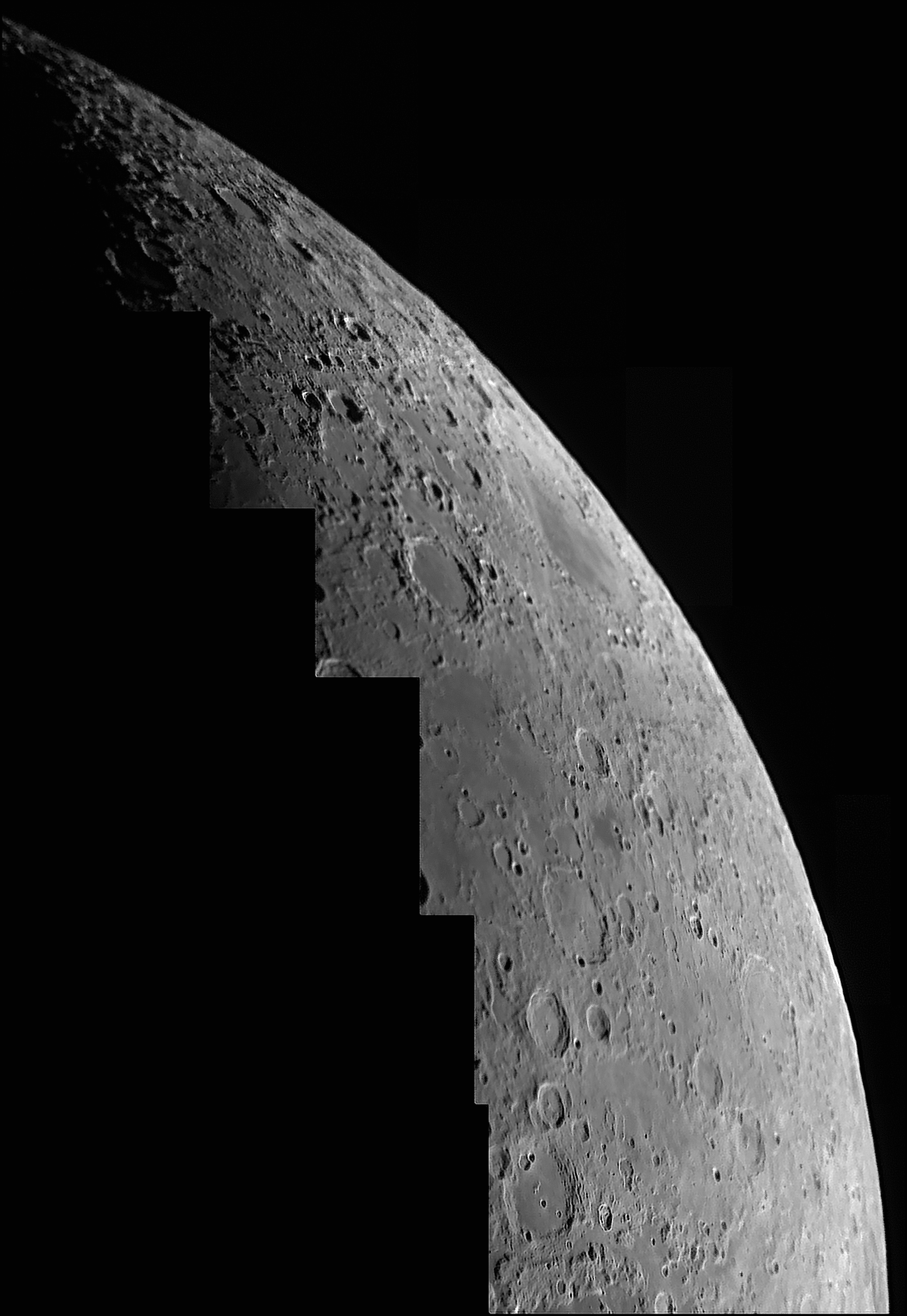
This is the north-eastern libration zone taken when the libration was slightly better than in the image above. Indeed the libration in latitude was as great as it can ever be. The point of maximum libration is indicated by the big arrow in the mouseover. The picture is a mosaic of six images taken when the Moon was 5.4 days old. Click on the picture to see it at full size.
|
Home Back to Moon